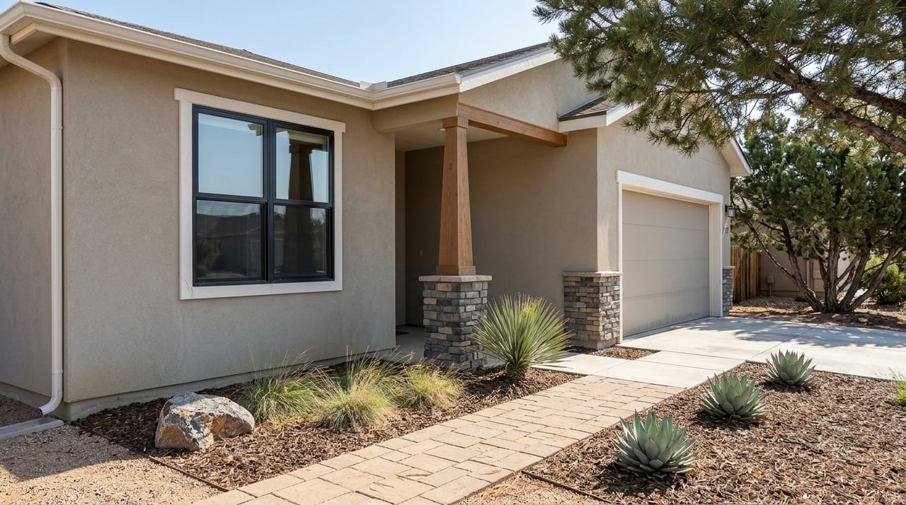
Why the July Flood Stayed on One Street in Viewpoint
August 27, 2026
August 27, 2026
"There was water just rushing towards the door." That's how one Prescott Valley resident described the afternoon of July 20, when a monsoon cell dropped roughly 2.5 inches of rain on the area in about an hour. By the next morning, floodwaters had dragged four shipping containers belonging to Yavapai Mechanical across a neighborhood near Roundup Drive, and Central Arizona Fire and Medical Authority crews had pulled three drivers out of vehicles trapped by rising water.
If you live in Viewpoint, you already know the headlines. What's less clear, and more useful, is why the damage clustered so tightly on one stretch of road while the rest of the community's calendar barely paused.
The worst of it hit Roundup Drive between Viewpoint Drive and Robert Road, along with a section of Prescott Valley north of Spouse and Roundup. Neighbors told local news outlets it had been nine years since the area last flooded that badly. Cars filled with water up to their door handles. Storage containers floated a block from where they started. One resident described four inches of standing water inside her home within hours of the storm passing.
The Town of Prescott Valley's public works department spent the following days clearing fallen trees and debris, and by July 23 all roads, including Roundup Drive, had reopened. The town warned residents that full resolution of storm-related work orders could take weeks given the volume of requests, and offered three concrete resources: free sandbags at CAFMA Station 53 on East Yavapai Road (bring your own shovel), a Neighborhood Tool Box program for borrowing specialized equipment, and a direct line to the American Red Cross of Arizona for residents dealing with flood damage.
That's the visible part of the story. The part worth understanding is why this specific corridor took the hit.
A few days after the storm, the town issued a second statement, this one aimed at correcting assumptions that had started circulating about the flooding. It's worth reading closely, because it explains something about how Viewpoint was actually built.
The culverts beneath Viewpoint Drive are engineered to route stormwater through the Agua Fria floodplain. On July 20, the volume and intensity of the storm pushed that drainage system past its capacity. That's an engineering limit, not a design flaw specific to Viewpoint.
More telling is what the town said about the structures that took the worst damage. The impacted triplex and nearby buildings were constructed in 1972, when the land was still part of unincorporated Yavapai County, before the Town of Prescott Valley existed and before any town building code or flood mitigation standard applied to construction there. And the open field west of Viewpoint Drive, the one many residents have wondered about for years, is state land. The town confirmed there's no planned development for it and no official action underway. It sits in a recognized flood zone and it's staying that way.
Put those two facts together and the picture sharpens. The flooding wasn't a failure of the master-planned Viewpoint community. It concentrated on a small, older pocket that predates the community entirely, sitting next to a parcel that was left undeveloped specifically because it floods.
Here's how that layered history actually breaks down:
| Pre-1972 pocket along Viewpoint Drive | Master-planned Viewpoint (North, West, East, Park Ridge) | |
|---|---|---|
| Built | 1972, while the area was still part of the county | Mid-1990s onward, after the Town of Prescott Valley approved the master plan |
| Streets and utilities | Predates any Town building code or flood mitigation standard | Paved streets, gutters, streetlights, and underground utilities across many phases |
| July 20 flood impact | Took the concentrated structural damage | Stayed dry enough that neighborhood life ran on its normal schedule |
The timeline behind that table matters too, especially if you've noticed the construction activity picking up on the north end of the community:
None of this means every address in Viewpoint is immune to a bad monsoon season. It does mean the July flooding tells a specific story about one older corridor and one intentionally undeveloped field, not a story about the master-planned sections where most of the community actually lives.
That distinction shows up clearly if you look at what didn't stop happening over the five weeks since.
Park Collective, at 7450 E Pav Way, kept its climate-controlled indoor playground open to the public at no charge, with Plus Coffee still pouring for parents who needed a break from the heat or an afternoon storm. Viewpoint Park, tucked inside the neighborhood at 7301 E Park Ridge Dr, kept doing what it does every summer: open fields for soccer, a playground, a basketball court, all running on the same casual schedule locals rely on year-round.
The trail network fared the same way. If you've been putting off a walk since the storm, the Glassford Hill Summit Trail and the Iron King and Peavine rail-trail corridors are both still connecting Viewpoint out toward Watson Lake and the Granite Dells, unaffected by what happened along Roundup Drive. We've mapped out more of that connectivity, along with the practical differences between Viewpoint's sub-associations, in our full neighborhood guide to Viewpoint.
September brings a full calendar to Findlay Toyota Center, a short drive south on Main Street:
None of that got rescheduled or scaled back because of what happened on Roundup Drive. That's not an accident. It's the direct result of the flooding staying contained to the corridor the town's own infrastructure was built to handle differently than the rest of the community.
If you live on the newer streets of Viewpoint North, West, East, or Park Ridge, the July flood is a reminder to keep an eye on the forecast during monsoon season, not evidence that your part of the neighborhood has a drainage problem. The structures that took the real damage predate the master plan by more than two decades, and the field that's flooded for years will keep flooding for years, because it was never meant to hold a house in the first place.
That's the kind of distinction that matters more than a headline. Viewpoint isn't one flat piece of ground. It's a handful of building eras stacked next to each other, each with its own relationship to the water that runs through the Agua Fria floodplain, and knowing which era your street belongs to tells you more than any single storm report ever will.
If you're weighing a move to Viewpoint, comparing sub-associations, or just want a straight answer about what a specific address's flood history actually looks like, Tim Eastman Group has spent years tracking exactly this kind of neighborhood-level detail across Prescott Valley. Reach out and we'll walk you through it, street by street.
Stay up to date on the latest real estate trends.

Search by Features
Golf Community
New Construction
Gated Community
Separate Guest House
Search by Neighborhood
Tim Eastman stands out in the Prescott, AZ real estate market by providing unparalleled local insights and a personalized approach to each client’s journey. His dedication to excellence and deep market knowledge ensures that your living begins here with the utmost confidence and ease.